
project details
Designer: Prof. arch. Giuseppe Pagnano
Contributors: geom. Antonio Garro, geom. Paolo Musso
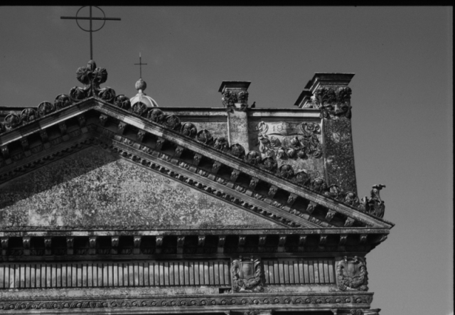
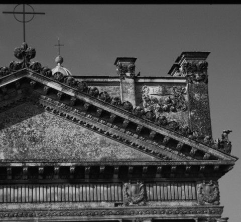
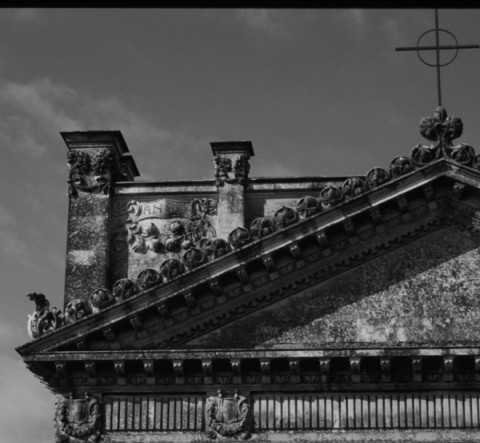
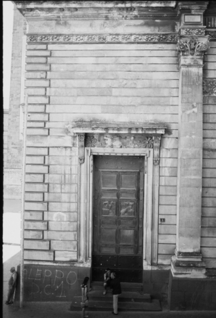
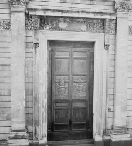
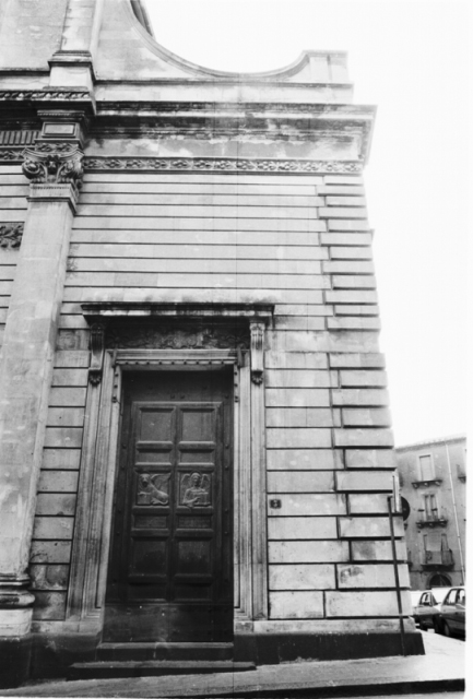
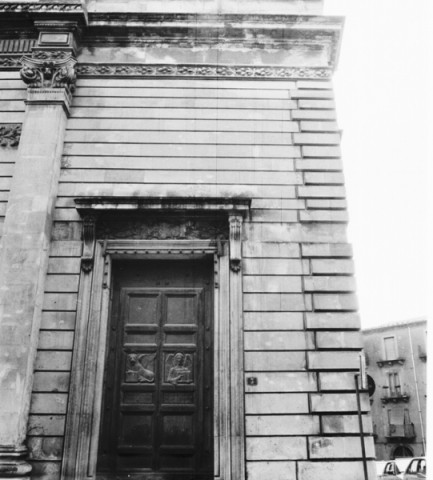
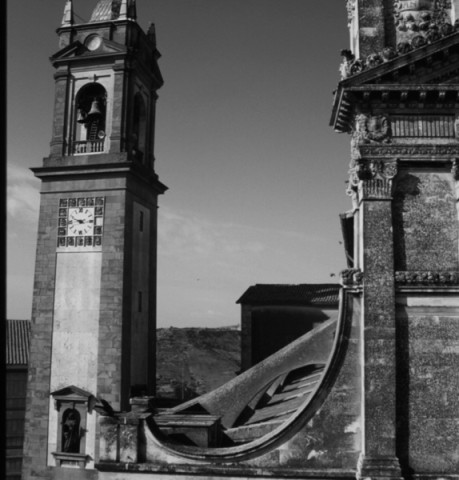
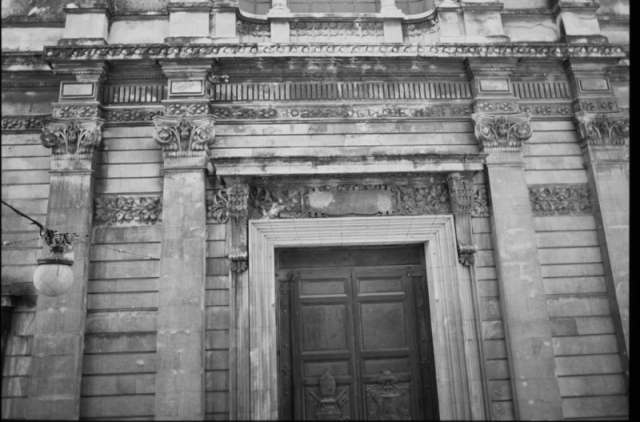
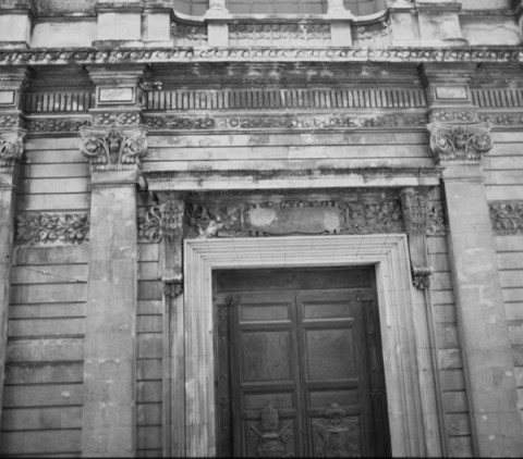
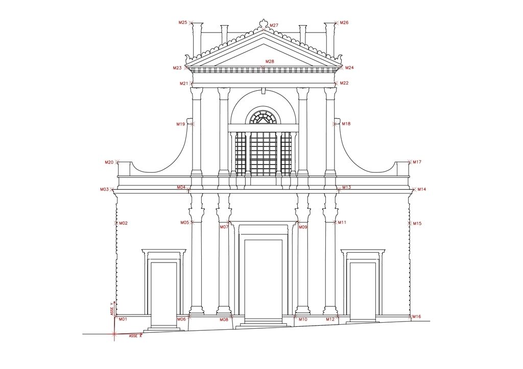
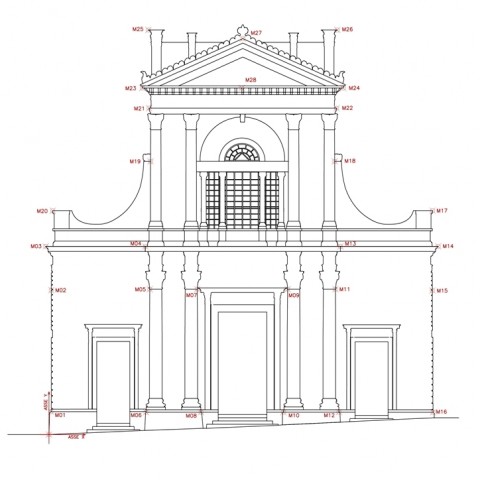
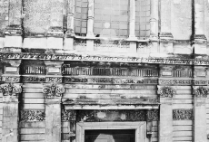
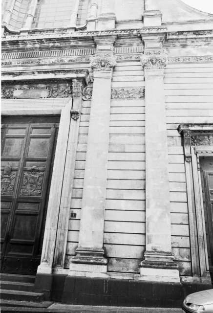
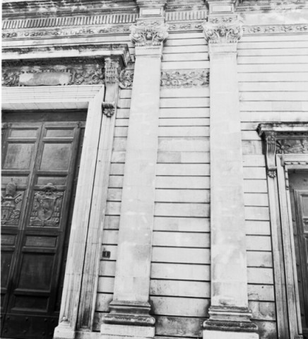
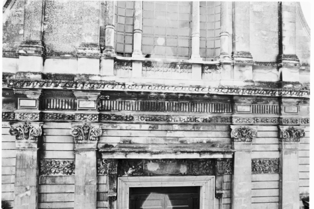
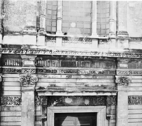
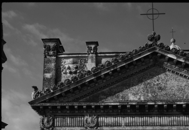
Note: Survey campaign with relative refunds at the Cathedral of Caltagirone.
Filming was done with the help of a solid tripod and a cable release, camera with a 35mm SLR YASHICA Multiprogram 108, equipped with a Carl Zeiss T * 2.8 Red / distortion with 25mm focal certified, the shots of the details were carried out with a 28/80mm zoom YASHICA, all shots were made with Fujichrome Velvia film gives prof. ISO 50.
Were tripped over one hundred frames at different times of day with different exposures and different days: these were chosen that had a better yield. These frames, after the development in our laboratory, were acquired on a PC using a scanner equipped with a CanoScan 2700 Film Loader. Some of them stereograms points classification was done, the places, the topographic precision of the points themselves. This survey was executed by means of the simultaneous positioning of two electro-optical distance meters TOPCON GTS-4 (linear precision ± 3mm +2 ppm, angular accuracy 5cc); was carefully measured, and then the base, on both stations, the readings performed angular azimuth and zenith points of the chosen framework. In the office, by means of software topographical three-dimensional, for intersection ahead of the detected angular measurements, have been calculated from the coordinates of the points of classification. We then proceeded to straighten the frame: it was not possible to use the software for the rectification of raster images (ORTHOPHOTO – Datatronics) but had to use the software (3D DigiCad – Interstudio) Righting vector since for the reasons stated above, has not been possible to obtain an overall frame of the front itself. This obviously has led to an elongation of the work itself as it is due vectorized each frame selected; has had to straighten each of these portions and, finally, has performed the final collage of the various portions.
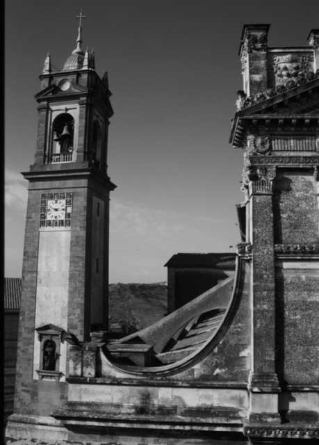
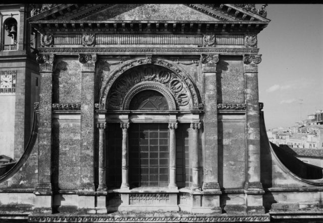
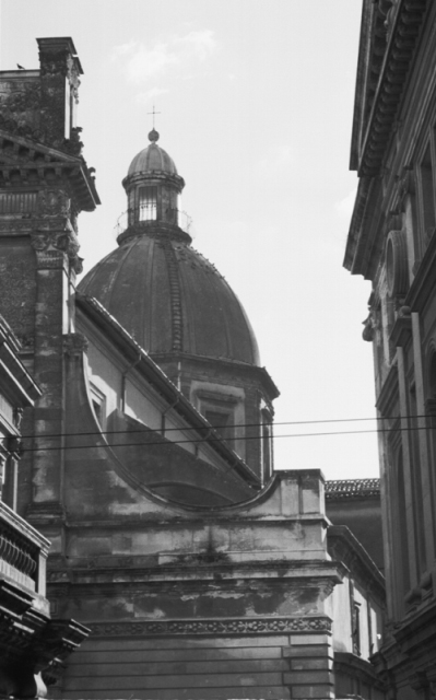
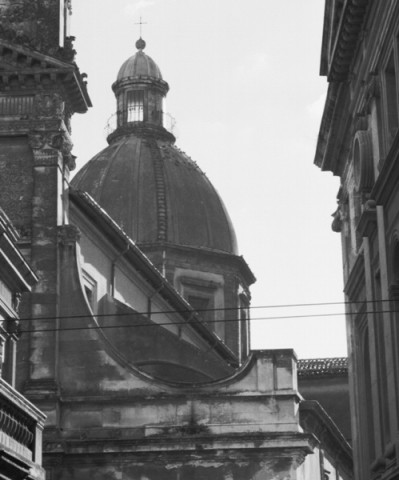
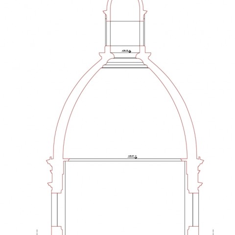
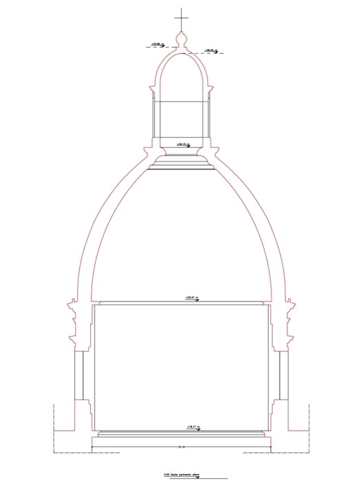
The metric measurements on the central dome of the Cathedral have been well conducted:
It is noted at the outset the external profile of the dome by means of the detection simultaneously by two stations, by means of the same instrumentation indicated above, in particular along the shell of the dome (hooks, nails, junctions of sheaths, junctions of stone slabs, etc.). The operation was repeated for further control, two other stations. With the intersection forward, performed on the three-dimensional topographical software, were then identified the coordinates of the points detected and, by interpolation of the same, rebuilt the external profile of the dome. It ‘was therefore identified a passageway inside / outside of the dome: a small door in the roof of the Church leads through a narrow tunnel in the wall, up to the inside of the dome. Were detected distances both from outside and from inside and, by difference determined the thickness at the base of the wall of the dome. The internal profile of the dome has been detected by means of a measuring laser beam (DISTO – Geotop displayed with minimal unit of 1 mm, typical accuracy of measurement of ± 3 mm and a maximum measurement error in measurement conditions unfavorable to ± 5 mm according to ISO / R 1938-1971) resulting in linear measurements between the floor of the church and fixed reference points (frames, ornaments, decorations, etc.). These measures were then integrated by a series of distances obtained, with the laser measuring, between the same points identified before and two edges of pillars at the level of the second frame of the dome (one at level +18.17)